Wednesday, October 15, 2014

Alma, N. B. / actual date 9-29-14

I spent a few days camping at Fundy N. P. and walking down to Alma, a small town just outside the park.  It is a fishing village with a post office, three places to eat & not much more.  The places to eat are important since I do not cook on the road or at home for that matter.  Below is a view of the village from the park which is up on a hill.

There are about 15 small fishing boat harbored here & as you will see in the next photos, when the tide goes out, the boats are high & dry.
I guess that they make sure to be back in the harbor before the tide starts to go out!
The boats all have a built in support running under the length of them & they lower these support stands on each side to keep the boat from falling over.  Also note the distance to the top of the pier in both pictures.
Another look at a maple tree that is doing fall colors proud.
Here is another look at the tidal differences, compare the two shots of the harbor.
Yes, that is the open water way out there with a shall creek draining out with the tide.
Enough of this, I need my beauty rest & before you think it, I know it will not help.......

Driving through New Brunswick / actual date 9-19-14

I have now started to turn south, down across New Brunswick (you know the Canadian province that is just north & east of Maine)(yes that one).  As I approach Edmundston, N. B.  I have moved into the Alantic standard time zone which is one hour ahead of Eastern standard time zone.  It is so exciting but I do not know why.
Enough of that, on to travel and pictures!  Still the fall colors have not reached their peak, as you can see in this shots.  Still nice though.
Upon reaching the southern coast of New Brunswick, I headed for Fundy National Park which amazingly enough is on the Bay of Fundy (go figure).  This is the place where the tidal differences are the greatest.  The next picture is the flags at the park.  On the right is the flag of New Brunswick.  It shows a old wooden sailing ship with a square sail.
The next series is about the largest "critter" in the Canadian woods, yes the moose!
All along the highways are tall fences to keep the moose from running out onto the roads, especially at night as you can see above.  Moose are so big and tall that if you hit one in your vehicle it will roll over and come crashing through the windshield (not a good thing).  Below are the gates built into the fences so if a moose get over a fence, it has a "one way" gate to return to the forest.
You can see the "fingers" that will let the moose push through only one way.  They are spring loaded.
They are installed about every 5 miles and seemed to work because I did not see any moose on the road........
As you can see most of the signs are (thankfully) in both English & French.  I actually stopped a little farther north to get directions at a small store and the 20 somethings working there were having a hard time with English.
Break time for this blogger.

Sunday, October 12, 2014

Extreme tides on the St. Lawrence / actual date 9-28-14

On the way following the St. Lawrence seaway past the city of Quebec.  I stopped for a look at the seaway which at this point was quite wide & discovered that the tile was out.  The whole area on both sides of New Brunswick are know for tidal extremes.  In fact the tides can change as much as 40`.  So when I drove over to the edge, I noticed that I had hit the low tide.
As you can see above, the tide was so far out that it had left a sail boat high on the mud flat.  The open water is some distance farther out.  You can also see the pier to the right is way out of the water.
In this picture everything from the shore to those white rocks (in the center) is mud flats.  Beyond is the open water. The biggest tides are on the eastern coast of New Brunswick on the Bay of Fundy.
And now for something completely different!  While driving through some small fish villages, I saw this advertising for a fast food place that specialized in french fries.  It consists of the container & a bunch of 12` long 4x4.

As you can see it is a larger version of the container that they serve their french fries in.  The stand is in the back / right.
I was now turning east across New Brunswick, but that is another blog.  

Saturday, October 11, 2014

Blog viewing hint

I have likely mentioned this before but when looking at the pictures, they can be enlarged by double clicking on them.  This might help to see some details better.  This is from the "for what it is worth department".

Happy viewing!

The locks of the St. Lawrence / actual date 9-27-14

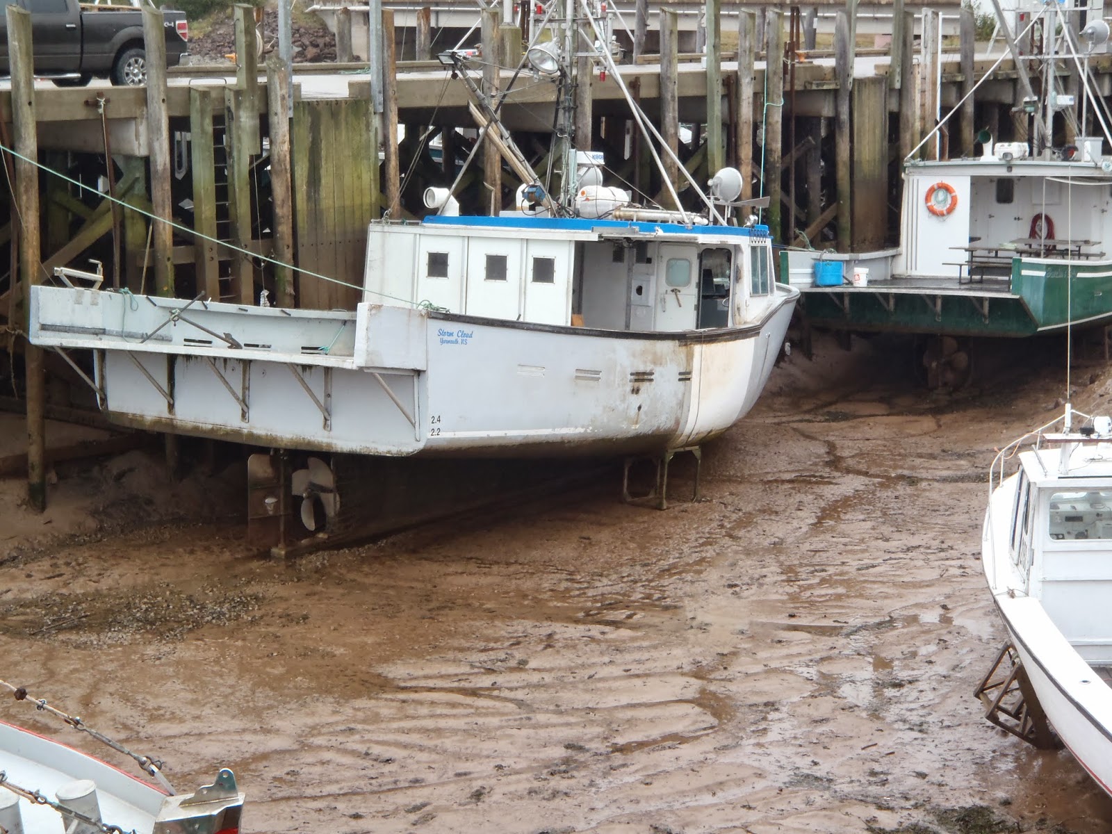
While still in Ontario, driving north, I saw a sign pointing to one of the Locks along the St. Lawrence.  Well I figured that I should check-it-out, after all I had never seen that kind of a Lock (a little joke for my former co-workers at the City).  It was just about 7 km. off the highway and there was a great viewing area to see the whole operation.
Above you can see the north lock (top) & the south lock (bottom).  Below I will include two of the signs that describe the operation.
As I was taking a picture of the flags in the park next to the lock, I noticed more cars starting to arrive.
 I was asking a guy with a big camera about the flags.  He said that they are (L-R) the seaway flag, the Canadian flag & the British flag.  The British flag was there due to several battles that were fought in the area years ago.  I was thanking him & said I was going to leave when he said a big ship was coming through the lock soon.  Of course I decided to stay......
The next series is of this ship moving through.

As you can see in the picture above, there is only about a one foot margin on each side of the ship.  It is not pulled through like at the Panama Canal but "guided through" by thrusters on the ship, quite a feat.
I noticed this "escape pod" on the stern, that reminded me of the movie Captain Philips.  My friend told me that all ocean going ships had them.
One last sign telling about the lock system.  You will notice that the sign is in English & French.  A lot of the road signs from here to Nova Scotia were just in French - that was a bit of a stretch for me!
As you can see this is the Iroquois Lock.  Very interesting.
That enough for now.

Canada, day two! / actual date 9-26-14

This is my blog for Sept. 26 th.    I decided to drive northeast going through Toronto & my planned stop for the night was Charleston Lake provincial park which is south of Ottawa, Ontario.  The drive along the north side of Lake Ontario to where the St. Lawrence Seaway begins was through rolling country. 
Enjoying seeing the country, I drove on through to Charleston Lake which turned out to be a beautiful park.  But I will let you judge for yourself.

The park is on just part of a large lake system & has swimming, canoes & hiking.  This next view shows part of the lake and some of the fall colors.
Next is a look at the swimming area and some canoes (to the right) by one of the many islands on the lake.
It has nice camp sites complete with electrical hookups & nice tree shade cover.  Home sweet home.
Nice hiking trails.

And for those of us who do not have much of a fall (lots of leaves on the ground) a look at the side of one the roadways in the park.
As I was getting ready to leave (no pun intended), I noticed this view of my truck with some fall colors reflected in the window.
Time to hit the road with a new collection of bugs (not really visible) on the front of truck & camper.
That`s all

More travels & pictures / actual date 9-25-14

After a little "tech support" I am again able to post pictures & descriptions of my travels again.  Even though I am now in Virginia visiting with family, I am going to pick up where I left off on Sept. 25.

I visited Greenfield Village in Dearborn, Michigan which was created by Henry Ford.  It is an re-created village from the turn of the century complete with all sorts of actual craft buildings from the period.  I know that you are expecting all sorts of pictures but sorry to let you down.  I was having such a good time looking around the 80 acres that I did not take any pictures.  All I can say is you have to see it for yourself if you are ever in the Detroit area.

After leaving Detroit my route took me into Canada at Windsor, Ontario.  My goal was to follow the St. Lawrence Seaway up to New Brunswick.  Following Hwy. 401, my first stop was at Ingersoll, about halfway to Toronto.  I found a provincial park that offered places to park / camp with electrical hookups.  It was right out on a lawn area and very quiet.
I know what your are thinking, not enough pictures but I will do better.

So much for my first day in Canada.